Today I rode the Tour de Peninsula in Redwood City with my son and some other fathers and sons. Congratulations to the 7th graders on finishing the 22-mile course!
There were challenges on the course, both physical and mechanical, but we all supported each other and everyone was smiling at the end.
   
| ||||||||||||||||||||||||||||||||||||||||||||||||||||||||||||||||||||||||||||||||||||||||||||||||||||||||||||||||||||||||||||||||||||||||||||||||||||||||||||||||||||||||||||||||||||||||||||||||||||||||||||||||||||||||||||||||||||||||||||||||||||||||||
Posted from bimactive.com | ||||||||||||||||||||||||||||||||||||||||||||||||||||||||||||||||||||||||||||||||||||||||||||||||||||||||||||||||||||||||||||||||||||||||||||||||||||||||||||||||||||||||||||||||||||||||||||||||||||||||||||||||||||||||||||||||||||||||||||||||||||||||||
Showing posts with label maps. Show all posts
Showing posts with label maps. Show all posts
2007 Tour de Peninsula


Colorful Calaveras Ride
A few weeks ago, we rode from Milpitas through Niles all the way to Pleasanton and back!
As a runner, it always impresses me how much more territory you can cover on a bike.
I traced out the pretty picture of our route below. Our route was the outline of the purple region at right.
Don't be distracted by the other colorful areas next to the SF Bay -- those are the salt evaporation ponds!

This was a beautiful ride through some East Bay foothills.
And, it's where I was introducted to Spam Sushi, which really hits the spot (rice=carbohydrates, salt) on a long ride!


Climb. Descend. Repeat.
During the week, I've been dutifully working out on my own, either attending Spinning class, lifting weights, or running with my buddies.
But, the cycling coaches strongly encourage us to attend a mid-week session on
"hill repeats", to make us stronger for climbing.
The formula is simple: find a hill with a good ~1 mile climb, ride up to the top and return, and repeat several times. Well finally I attended my first hill repeat session, on Mt. Eden Road in Saratoga. Not only was it at 7am, but just my luck, it was lightly raining for my debut!
I was feeling kind of lost since I'd never met for this before, but finally I found our knowledgable leader, Vijay, and he showed me the way. When we arrived at the base of the hill, we found another teammate, Audrey, already there and having completed a couple of repetitions already. AND, she had rode over from home. Tough chick! :-)
The climbing was perfectly hard: not painful, but challenging and long. Vijay led us through the paces, mixing it up by climbing in different gears and cadences. I usually like to descend fast, but I was spooked by the rain and wet roads and took the curves pretty slow. I thought Vijay said we were finished after 3-4 climbs (I've lost count!), but he twisted our arms with "just one more" so we ended up doing 5-6 rounds.
Here's our course map, below.
It's nice -- not much traffic, pretty, and peaceful.
I can even attest that it's nice in the rain. ;-)

A nice little climb
After yesterday's infernal long ride (more about that soon), I needed something less punishing.
A few friends and I are interesting in making an assault on Mt. Hamilton Road, which is an old country road in east San Jose climbing up to the iconic Lick Observatory.
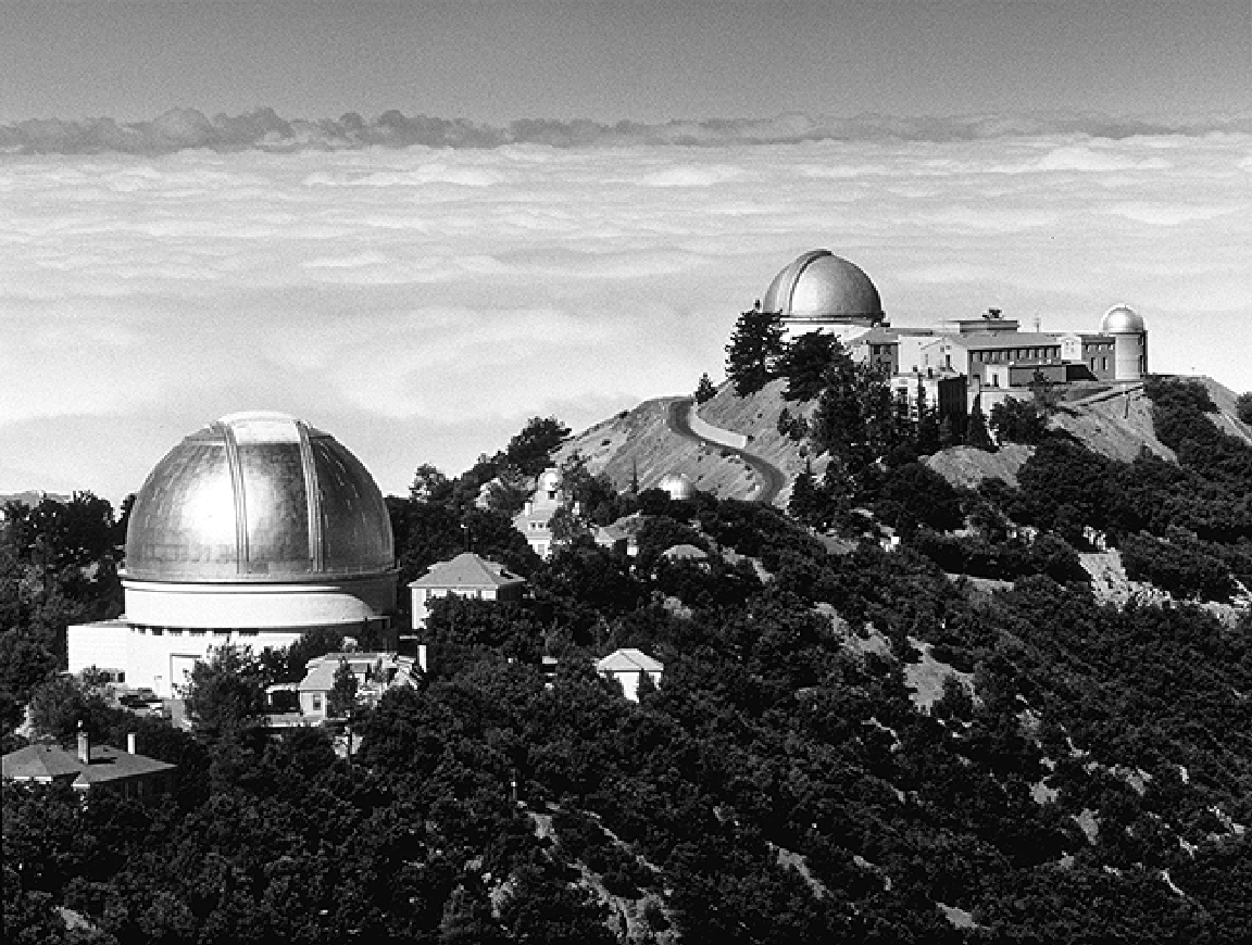
Don't worry, I didn't ride to the Observatory! Not today, anyway. But maybe by the end of summer. Today, we just road a nice 10-mile loop that climbs part way up Mt. Hamilton Road. It's really a nice road for cycling: not too much traffic, not too steep, it just climbs for a long, long ways.
I'm having fun experimenting with different mapping methods and used Gmaps Pedometer to draw this:

Pretty Picture of a Deluge
Last Saturday, our ride was supposed to be 50+ miles from Los Altos to San Mateo with a climb up to Skyline Blvd. HOWEVER, when we got to Woodside, it started raining pretty hard. It was my first time riding in a rain storm. It's not very fun. Even though I had a waterproof jacket, your face gets constantly blasted with road spray and grime from fellow riders' tires. The worst part of all is that it's very hard to brake on a bike in the rain! I had to give my brakes the "death grip" to keep from running into fellow riders or past stop lights.
Sensibly, we turned back at Edgewood Road in Woodside. As we were riding back, we passed the TNT Run team, which was also out at Woodside. That's what caused the rain! It always rains on the run team when they go to Woodside!
I painstakingly created this pretty picture of our route.
I hope you like it!

What Nick Said
I've been meaning to write up last week's ride, which went really well for me. But before getting around to it, I discovered that my coworker Nick (an Ironman) has joined the Cycle team, and wrote a beautifully illustrated description of our ride. So go check it out at his blog and see his pretty topo map of our route!
Monte Vista Ride
Here's
a map of last Saturday's 47-mile course.
You can zoom out and see all the miles we covered, and look at the elevation map at bottom. The biggest hills were at the end -- Mt. Eden and Pierce Road.
Subscribe to:
Posts (Atom)